Taking the Aspen L107 to the Arctic Circle and Back
The Aspen Arctic Adventure pushes the envelope of any prior trip, and adds a whole new level of thrill and adventure. Read the trip’s log here as our crew, led by Larry Graf of Aspen Power Catamarans, embark on this epic adventure.
Come Along on the Voyage with This Video
Here are the Stats for the Cruise
Mileage: 2,200 cruising miles
Trailering mileage: 2,500 miles
Trawler Cruise Speed: 20 kts
Fuel Burn at Cruise Speed: 7.7 gal. per hour
Boat Top Speed: 30-plus kts
Larry Graf, the founder and President of Aspen Power Catamarans has been doing adventure trips like these since the mid 90’s; including runs to Bermuda (728 miles), Siberia (256 miles), Midway Island (1,364 miles), Alaska (2,700 miles). More recently he’s circumnavigated Vancouver Island un-refueled (650 miles) in the Aspen C100, and participated and orchestrated the 10,000 Mile Tour with the Aspen C120 cruising from Alaska to Annapolis (10,500 miles).
Larry was joined on this voyage by journalist Peter A Robson, who has more than 25 years of experience in the fields of book and magazine writing, research, editing and production. He has edited numerous magazines including Westcoast Fisherman, Pacific Yachting, Cottage, and Cottage Life West. He has authored or contributed to several award-winning books on such diverse subjects as commercial fishing, forestry, and salmon farming. He has been around boats for 50 years and has voyaged more than 25,000 “offshore” miles (including the 5,600-mile Qingdao, China to Victoria, BC, leg of the Clipper Round the World Yacht Race.) He has cruised in the Pacific, Atlantic and Caribbean on a variety of yachts and many, many more miles locally in the Pacific Northwest. He most enjoys taking part in, and writing about, adventure travel. Peter lives on British Columbia’s Sunshine Coast.
The Aspen Arctic Adventure Logbook
June 30, 2019
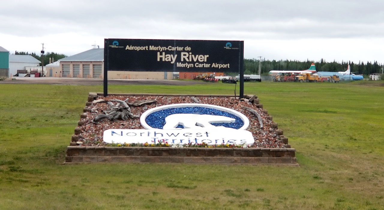
Larry & Peter are approaching Hay River. They made their way through Jasper National Park and took a short break to get some practice in with the drone.
July 1, 2019
Larry & Peter stopped in Manning, Alberta to top off their jerry cans for fuel reserves before they reached the Northwest Territories. Within the first 1/4 mile they met their first black bear! It turns out those jerry cans came in handy as they faced fierce head winds for hours and a lack of gas stations on their drive north. Thankfully they were able to make it to Hay River with those fuel reserves, rolling into town on fumes.
After getting their final provisions for the next leg of the trip, Larry and Peter visited with the locals to get the scoop. Everyone advised them not to go out for another two days until the weather cleared up. With 25 knot winds and gusts up to 35 knots even the big tugs weren’t going out – there were no boats on the water. The mix of high winds and shallow waters made for some nasty sea conditions.
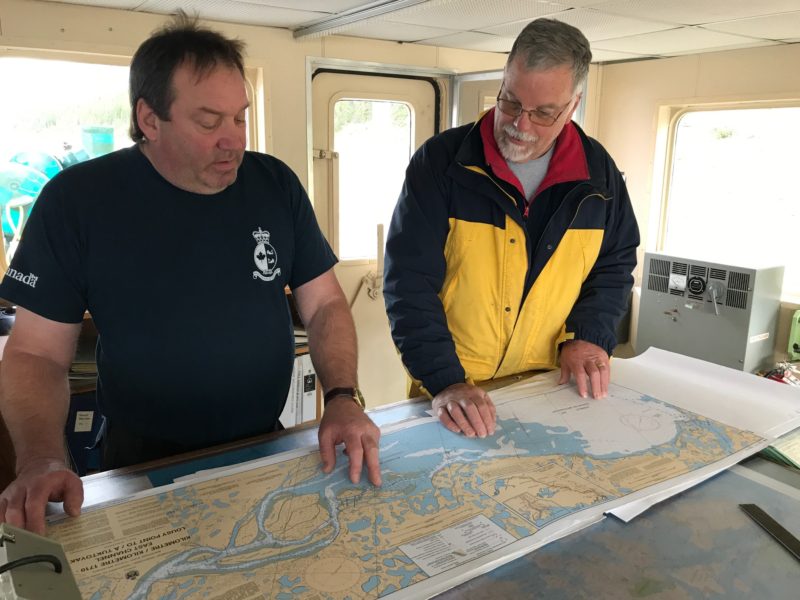
Larry not being one to wait around found an alternative solution! Instead of launching at Great Slave Lake, they chose to drive up to Fort Providence at the head waters of the Mackenzie River itself. They plan to launch the L107 this afternoon and start the journey down the Mackenzie, making their way towards Fort Simpson.
July 2, 2019
Adjusting to the weather, Larry & Peter put in at Fort Providence on Tuesday afternoon. From there they cruised down the Mackenzie and stayed the night between Fort Providence and Fort Simpson.
July 3, 2019
172 miles in, they made it to Fort Simpson! Larry said the current was amazing in spots, clocking in at 7.6mph. They’ve been cruising the river at 24mph and averaging 2.5mph. They topped off at Fort Simpson with 68 gallons. Awesome fuel efficiencies even though they’re loaded like they’re going in for battle!!
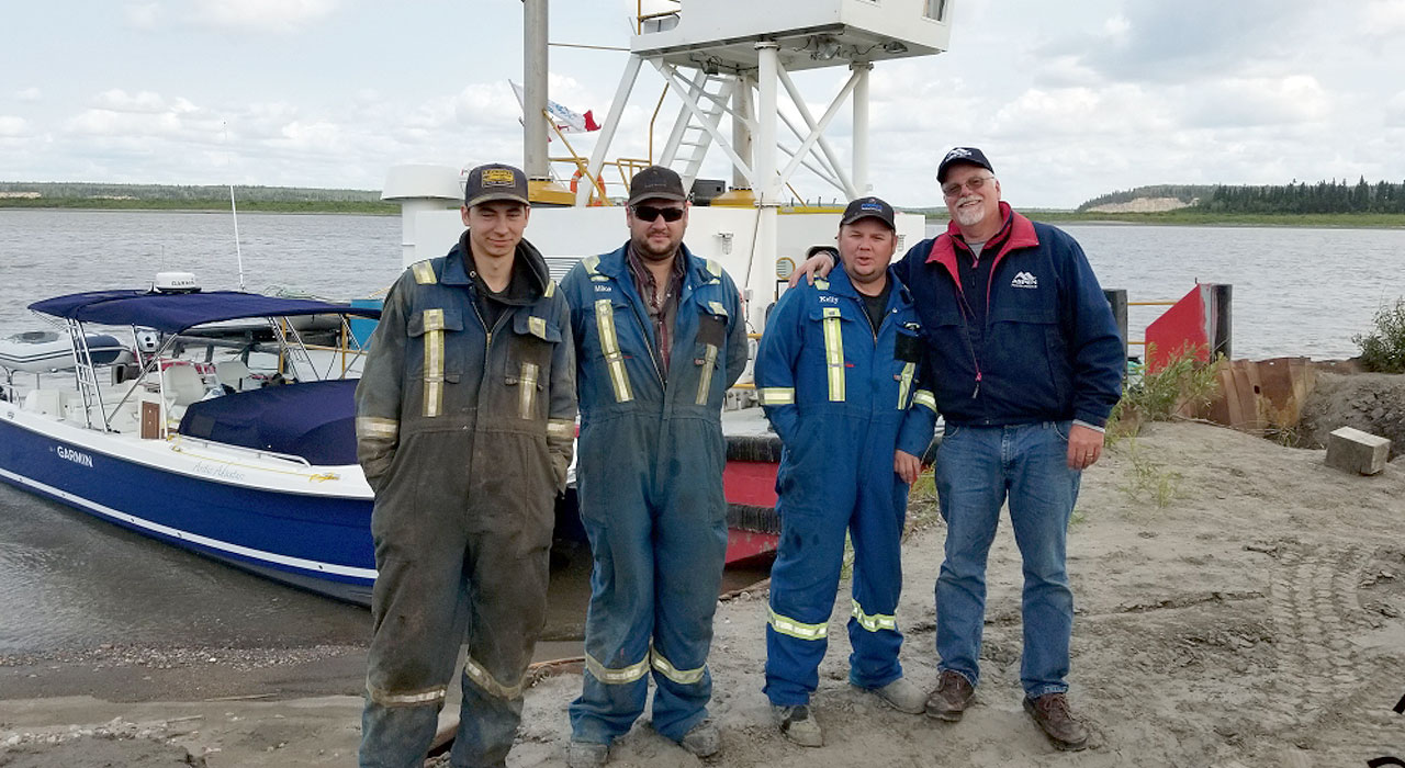
While they stopped in Fort Simpson they met up with the Coopers family who run Coopers Tug and Barge Service – just super people. They loaned Larry & Peter their truck for a tour of the town.
They’re moored between a couple islands in the river for the night. Next stop will be Wrigley for the 4th of July.
July 4, 2019
A perfect blue bird day, 75 degrees and 58 degree waters. Started out from Camsell Bend north of Fort Simpson. No bugs so far, eerily quiet… only birds singing and Peter testing the bear banger – BANG works well.
Cruising down the river we were surrounded by big mountains, river flowing at 5-6kts as it winds its way north, our track sweeping smoothly back and forth across the river. Lots of fun and great scenery.
We arrived at Wrigley at about 1:30pm, it was 85 degrees and kids were swimming (water 59 degrees)! Got a lift to the fuel tank yard, waited for fuel man for 30 minutes and when he got there the pump only dribbled fuel… after ten minutes and five gallons of gas we gave up.
After Wrigley, the river was easy to navigate for 40 miles and 30-40 feet deep, flowing fast. Then it became crazy! Wide, then narrow with markers left, then right. The captain was fully engaged while the nav man was also fully engaged studying old charts for clues as to what was next and where to go. We would zoom back and forth with ripping current. We ran this way for hours, it was fun, exciting, and worrisome at times.
We finally stopped at 9:45pm in an old river channel with less current and some protection. Ended up eating dinner and talking until 1am and going to bed while it was still light out.
Total of 169 miles for the 4th of July.
July 5, 2019
Larry Graf writes:
“Waking up today it was raining, about 60 degrees and misty with a low overcast. Not that eager to get out of bed…
We made it to Tulita, very small town, the beach was very shallow, and we decided to skip going in and continued north to Norman Wells another 50 miles.
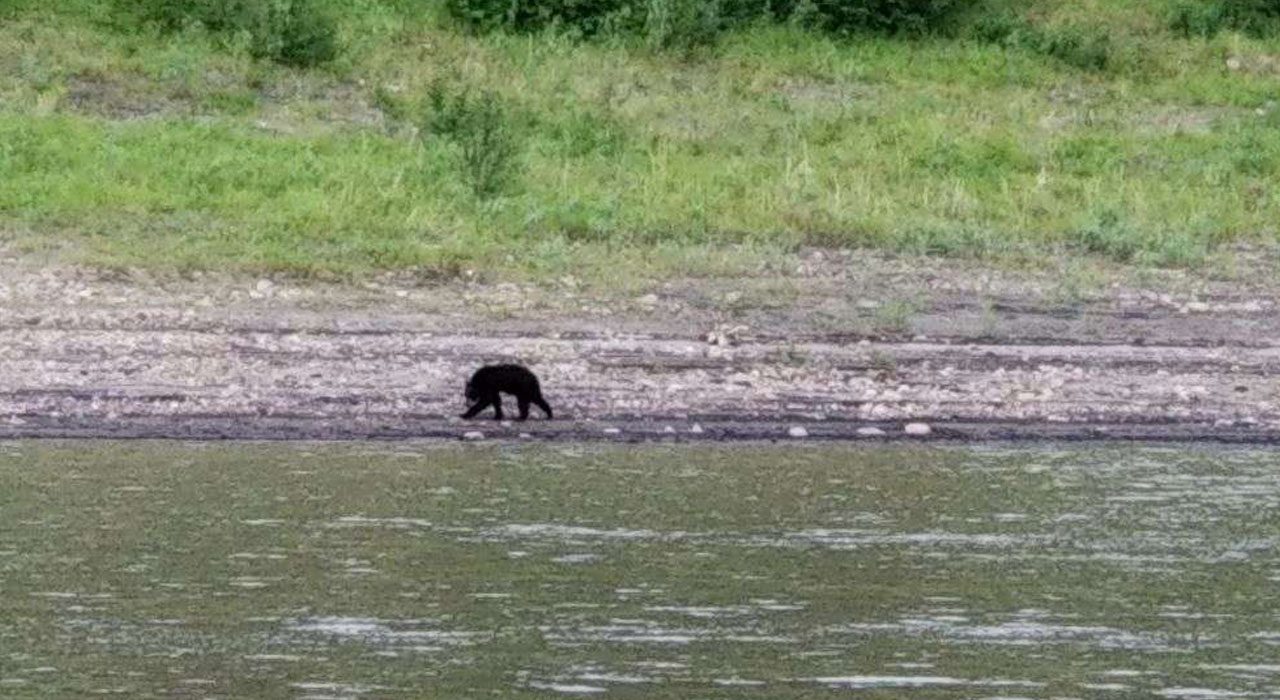
Most of the day we had a huge current ranging 5 to 9kts. Saw our first bear on the river, a little one but cute.
The river is way different at Norman Wells, 3 miles wide and 2kts current with dead calm seas. Still navigating through here though, no straight lines. We tied up to a bashed-up steel and gravel pier at Norman Wells – there’s no such thing as docks and marinas anywhere on the Mackenzie River because of ice in the winter. Most locals have small crafts that they just beach in front of the native villages. There aren’t too many places to anchor out of the current, so that’s been a bit of a challenge.
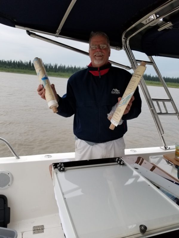
Loving ‘Wilson’ our chart box, our BEST buddy! Swapped to chart roll 2 of 3 last night, 104′ of charts in total! Sure wish it would warm up like yesterday. We anchored behind Axel Island for the night, north of Norman Wells.”
July 6, 2019
Peter Robson writes:
“This morning we navigated the most dangerous rapids on the entire river. Many have died there. Whew! Went very well. Enjoying a few hours of down time now in contrast to very long hours underway constantly trying to spot buoys and range markers. Tons of current. Very difficult navigation. Quite warm when we stop and it’s sunny.”
Larry Graf writes:
“Fort Good Hope! We met Shelly who was flying a kite with her nephew, she offered to drive us into town for fuel, super nice. Very friendly people everywhere. We filled up all our tanks which should get us to Inuvik, putting us 86 miles from the Arctic Ocean.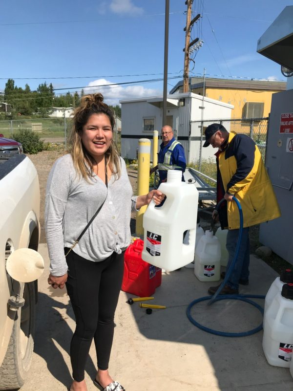
We anchored in the mouth of the Hare Indian River north of Fort Good Hope. Very high winds, about 20kts just howling on the river, 60′ high mist blowing across… Decided no reason to push it, tucked away in a super nice little cove on the river. This was a good spot until a crapy rainstorm and lightning storm blew in, making for an uncomfortable night as we weren’t protected at all.”
July 7, 2019
Leaving Hare Indian River, Larry & Peter got underway at 5:20am heading north to cross the Arctic Circle and reach the Arctic Red River. It was a chilly morning at 48 degrees and cruising at 24mph. Their first stop of the day was on the CCGS Eckaloo with Captain Travis, who was very informative – this is the crew that tries to keep the channel markers in place.
Larry described this section of the river as very bizarre, first the river bends right, then left, huge 4 to 5 miles wide sand bars everywhere. Many of the nav buoys have moved from logs catching them, but the buoys are often times still the best route until they are missing… Several times they found themselves at dead ends or sandbars, having to come to a full stop and reverse to avoid the shallows (3 times so far). At times they’d find themselves referencing inland lakes to their location on the river when buoys were missing. There were about 40 buoys not there, washed up on the beaches.
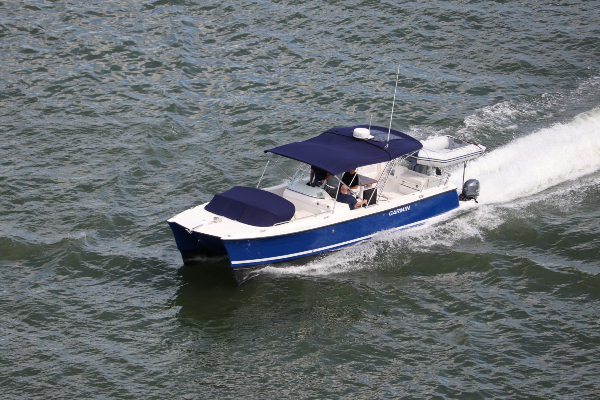
The charts proved to be way off, and even the Garmin 2018 geo map from last summer which had been exceptionally good at showing wet or dry was not working. Numerous times they drove over what were islands last year.
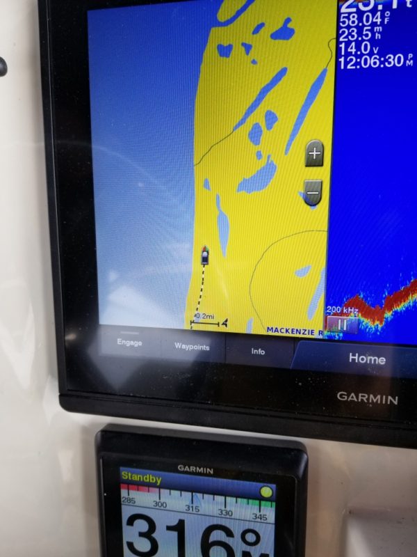
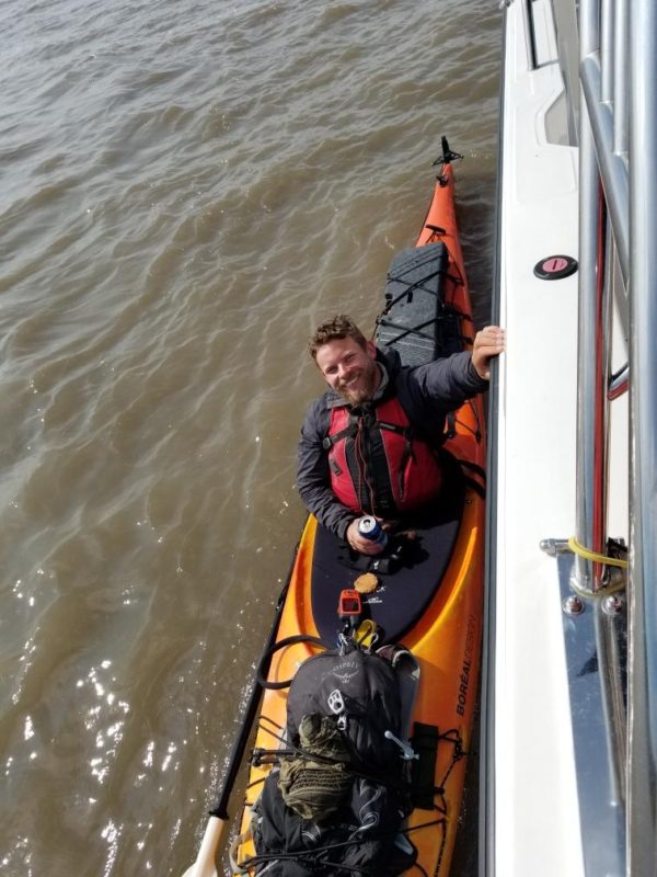
They crossed the Arctic Circle in the morning, and in the afternoon they met Craig the kayaker from Ontario. Grandma’s cookies and a Kokanee beer always seems to be what they need.
It was a long 10 hour day covering 227 miles! Unbelievable wilderness, cruising 5 hours at 24mph and not seeing anyone or anything man made is pretty remarkable! Just forests, rivers and wildlife – it really is a VAST wilderness up here. Even with the numerous navigation issues due to missing and out of place buoys, sandbars and islands no longer there or newly formed, Larry and Peter made it to the Arctic Red River. They got into a few tight spots with only inches of water below, but made it due to their superior skills and years of experience.
July 8, 2019
“It’s warm and sunny today, there was no sunset last night we’re so far north. Today we are cruising to Inuvik. This place is infinite, again running 4 hours at 25mph and not seeing a single manmade thing or person… The river is just HUGE. It was fun navigating today, we were cruising, zooming around big sweeping bends. We got to Inuvik about 4pm.
Thankfully we received an email with a Garmin file from a local river guide showing the last 70 miles of the river where there are no nav aids at all… yahoo! This is a big deal because the Mackenzie River Delta is a massive maze.
CRAZY story… When we were back in Fort Good Hope we met up with Hector, who’s a total boat nut, was there working on the fuel bar. We gave him a tour of the L107 and he loved it. He then gave us Conner and Kim’s (his son and daughter) numbers who live in Inuvik, said to give them a call when we got into town. When we called Kim answered, Conner thought the 425 number was some bogus call… Kim had offered to come by later to help drive us back and forth to fuel.
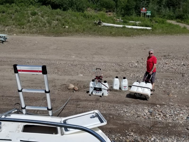
But instead of waiting, Peter and I decided to give it a go with our cans. We walk up to the gas station and as we walk in we see a young guy with a truck, ask him for some help and he agrees. He was filling up. As we get to talking and exchange names, his name is Conner, and yeah, his Dad is Hector and sister is Kim! Ha! The guy we’d just been trying to call. Small town, but not that small.”
– Larry
The Dilemma…
Back in Inuvik in his hotel room Larry pondered the complexities of the next leg of the trip. Texting back and forth with Aspen headquarters weighing in on the risks and possible alternative options to getting to the Arctic Ocean. The Mackenzie River itself is about 20 miles from Inuvik, from Inuvik it turns into multiple small rivers, all good for small metal boats. There are few that work for a boat that draws 31″… maybe 2 of the 30 smaller rivers would work. There is a small channel that later in the summer will be marked, but they have not done it yet this year. That Garmin file they received earlier that they thought was going to be so helpful, well turns out it was done by a shallow draft boat – not so helpful for a 34’er.
One option would be to reference Peter’s iPad, it would be like a scrolling picture route guide, but no actual location available. Not ideal for a 180 mile round trip, in a channel that has rocks in places. The return trip would be easy, as the Garmin chart plotter saves the boats locations going downstream. Round trip is about 12 hours in the boat.
Second option would be to take a car out and back, 6 hours round trip. Boring.
Third option would be to take a float plane to the ocean, 2 hours. Cool, but not the same.
Larry decided: “Why’d we come all this way just to take a car or float plane to the ocean, we are doing option number one!”
July 9, 2019
At 1pm Larry & Peter made it to the Arctic Ocean!
1,092 miles, 6 days and 22 hours.
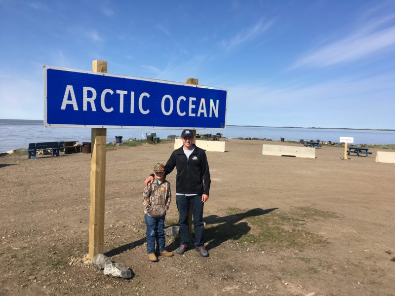
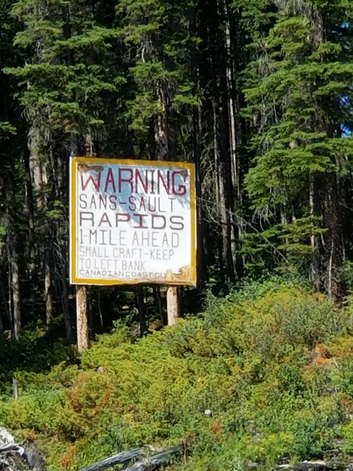
More crazy navigation to get to the ocean from Inuvik. There was no guide and no buoys to mark the route. They’d go 3-5mph in areas zig-zagging the river finding the best route and deepest water, no more cruising at 24mph. The Mackenzie River is described as one of the most complex river systems, and it is only recommended to navigate these waters for those with extensive local knowledge!
Up here the terrain is drastically different. Zero trees. Low bushes, maybe 4′ tall – but a very deep green.
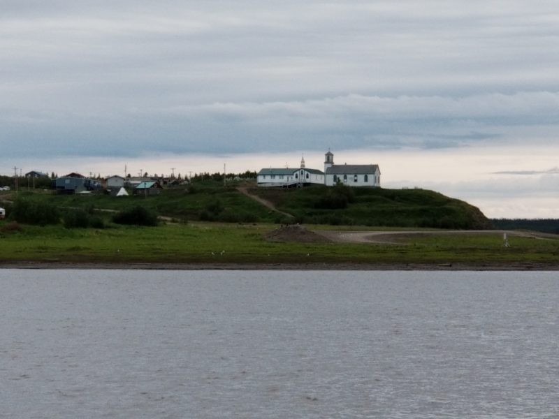
Once they reached the ocean they stopped to soak it all in – they made it to the Arctic Ocean! Almost 1,100 miles and in about 7 days. Larry took a crack at flying the drone for some aerial photos, but alas a gust of wind caught it and the drone took a dip in the Arctic Ocean… Peter dipped his toes in the saltwater and cracked open a Kokanee beer, christening the completion of the Aspen Arctic Adventure.
Their return trip upriver to Inuvik was far easier now that the Garmin chart plotter had recorded their tracks down river. This placed them 2-50′ from their original course, they only had to keep an eye in areas where they zig zagged coming down river. An amazing difference being able to navigate confidently, having a chart and route they knew worked… so much less stress.
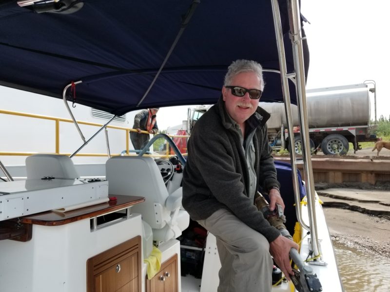
Peter Robson summed it up: “I’m elated. Very emotional when I think back on it all. I can’t believe we didn’t crack up the boat or us. What an amazing journey!!!!”
July 10, 2019
The adventure continues!!
Brandon Holmes (Aspen’s Service Manager) and his son, Otto, flew up to Inuvik to join Larry for the return trip of the Aspen Arctic Adventure. They departed Inuvik Wednesday morning, it was 51 degrees and blowing about 17kts, making for some cold and sporty conditions. They cruised upriver at 19mph, bucking a 3kt current cruising at 4300rpm. Fuel efficiencies weren’t as good as going down river, but that was expected – 1.6mpg upriver versus 2.5mph going down river. They had a total of 192 gallons with the spare fuel and standard fuel on board.
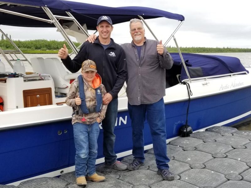
As they neared the Arctic Red River they sliced through tight 6′ waves as they went up river at 17mph. When they got into Tsiigehtchic they anchored about 1/4 mile up river in a good hidey-hole – it was blowing about 20 when they went to bed. Around 1am a weather front came through with winds around 40kts, it lasted for about 2 hours and then calmed down.
July 11, 2019
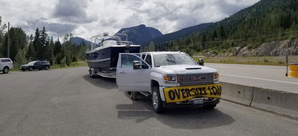
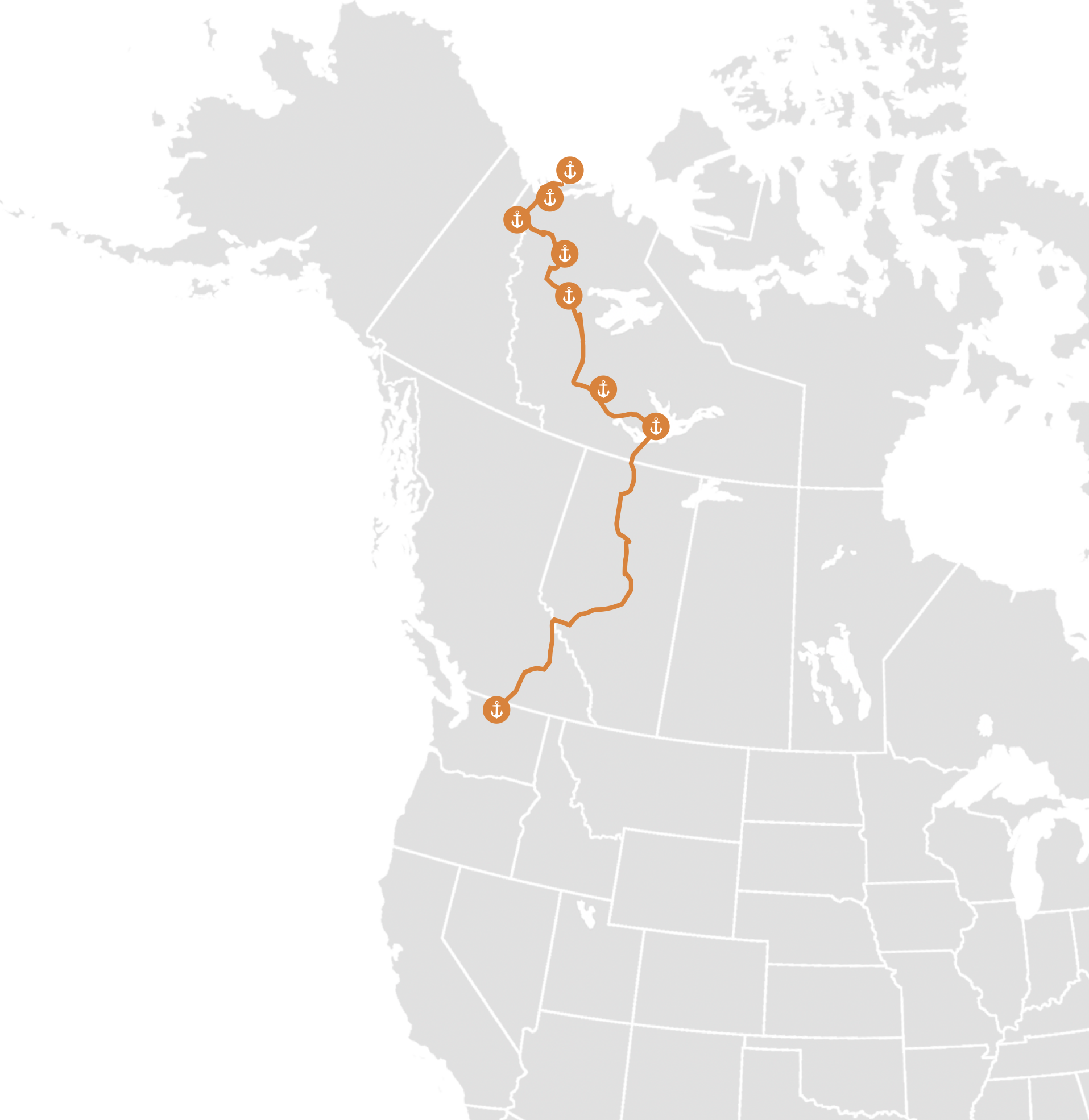
He’s at it again! From June 28 through July 18 (2019) Larry takes on the Aspen Arctic Adventure! The trip starts by trailering the 34′ L107 a measly 1,171 miles through the Canadian Rockies to Hay River in the Northwest Territories of Canada, then the ADVENTURE really begins… launching at Great Slave Lake and cruising 1,120 miles down the MACKENZIE RIVER to the ARCTIC OCEAN!! Joining Larry on this epic adventure through the Canadian wilderness is veteran Canadian Journalist Peter Robson. These are some of the most pristine and untouched waters in the world, in an area where there are far more bears than people. As they make their way to the Arctic, they will make scattered stops for fuel at small indigenous villages.
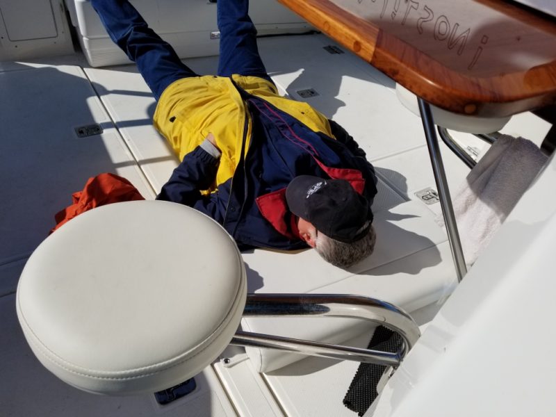
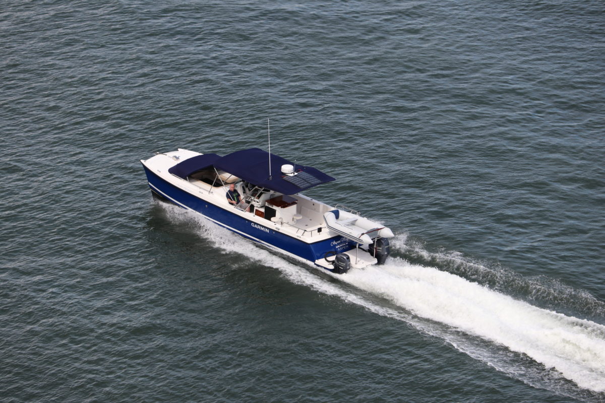
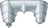
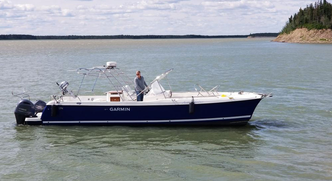
Few vessels have the combination of speed and range necessary to cover the long distances required to accomplish this epic task. The Aspen L107 with twin yet dissimilar Yamaha outboards (200HP starboard and 70HP port) is capable of speeds in excess of 30mph but when cruising at just under 20mph burns only 7.7gal/hour yielding 2.55mpg. With the expedition set up that includes a total of around 190 gallons onboard she will have a range in excess of 300 miles. At 34′ x 10′ the L107 is a big simple boat, ideal for all types of cruising. Wrap around seating in the bow, converts to a sleeping area on the trip as it is covered with a canvas dodger. A large Bimini over the helm with solar panels provides both power and protection from the elements while under way. Other amenities include an outdoor galley complete with a fold down table and seating, plenty of storage and a fully enclosed day head below rounds out the accommodations.
July 12, 2019
Larry writes:
Whooeee!! What a cold morning in the Arctic Red River! Slept through most of the storm last night.
Finally warming up as we get further south, but still wore the big orange suit all day. Otto stayed in the dodger with the heater on for most the day. A cold and cloudy day, averaged 20.5mph going up river, speed increasing slightly as the fuel was used. We crossed back over the Arctic Circle today. Cruised for 160 miles for 9 hours, didn’t see one animal!
MASSIVE wilderness.
Played around with the autopilot settings a bit, set the power saver to 70%, which slows the system down and tracks smoothly.
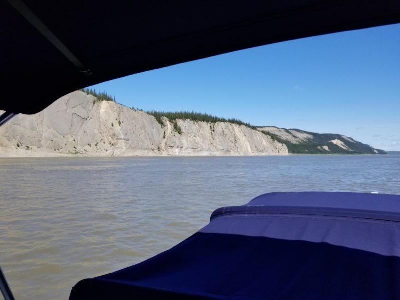
Got into Fort Good Hope about 10:45 pm, it was a chilly day, max seas were 3′ and mostly just 1-2′ seas. Total of 215 miles, 119 gallons, average 1.8mpg.”
July 13, 2019
Waking up in Fort Good Hope, the boys met Shailene with the Northern Store who was a big help restocking and refueling. They got another 50 gallons of fuel for their next leg to Norman Wells. While they were going around town they came across a wild bird, very noisy and big long red legs – pretty cool.
Fuel economy going upriver was as expected, not great – average 1.6 mpg versus the 2.2-2.5mpg going down river. Battled 3kt currents most of the day, picked the rpm up to 4300. Total of 192 gallons of usable fuel on board, totally loaded down. Started out to be a very cold day cruising 19mph, 10kt winds, and 51 degrees.
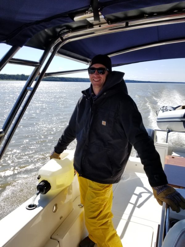
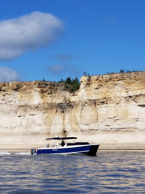
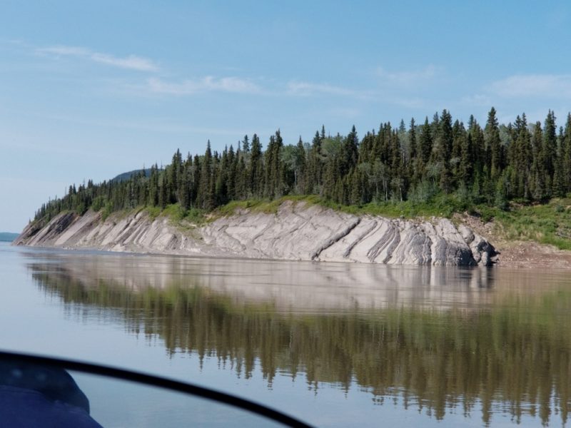
It finally got sunny and warmed up to 70 degrees as they got further south! They stopped south of Fort Good Hope for some photos as they went through the Ramparts, the huge 200′ sandstone cliffs that edge the Mackenzie River.
They pulled into Norman Wells at about 6:30pm, topped off all the fuel tanks, taking 163 gallons for a total of 205 gallons for the next uphill run. Next fuel stop is Wrigley – 200 miles!
July 14, 2019
Thinking back on visiting with the locals at each fuel stop it really began to sink in for Larry just how crazy this trip is. At each stop he would ask how many fiberglass pleasure boats go down river, and only one fuel station had ever seen one go down river in their memory. No one had ever seen a pleasure craft over 30 feet go down river, and never seen one coming back up river!! Most boats on the Mackenzie are aluminum boats under 21 feet or canoes and kayaks. Aspen may be the FIRST fiberglass boat to go both ways.
There was a slight “traffic jam” on the river on Saturday… there was a couple in a yellow canoe near Tulita, two kayaks and one red canoe – all in 124 miles. While they were cruising near Tulita they also saw a herd of 24 Muskox and a little black bear. Other wildlife experienced today were lots of HUGE bull flies. They’re able to maintain boat speed of 22mph for about 20 minutes. Otto was chasing them around the boat with the electric fly swatter! Larry whacked one with his hat, it paused and then flew off. They also saw a large black bear as they got closer to their anchorage for the night, he was a bit shy and sauntered up into the trees as they went by.
Amazing currents in some areas today, bringing the boat speed down to 14mph for 3-4 mile stretches at times! The average speed was 17mph up current, speed through the water was 22.5mph. So that means when we’re doing 14mph up the river we’re fighting a 8.5mph current! Fuel economy was as low as 1.1mph in those sections – good idea maxing fuel reserves in Norman Wells.
A long day of boating and navigating in one stretch, a total of about 205 miles today. They found a nice calm section on the river, pulled the starboard nose into shore and wrapped the anchor around a rock. A sweet location just out of the current, a light wind, and about 78 degrees.
July 15, 2019
Making their way to Wrigley, they stopped for their second to last fill up on the Mackenzie River. A total of 220 miles from Norman Wells to Wrigley, the L107 used 130 gallons for an average of 1.6mpg. Pretty remarkable efficiencies considering going against the current! Michael at the fuel station in Wrigley said that he’s “never had anyone go down and then up the whole river…”
While cruising up the river today they met two kayakers, one was from Japan, all very friendly. When they were going through 7-8kt rapids they found it much more rewarding to bring it up to 4700 rpm’s and just get through them versus grinding along at 14mph for a half hour. Larry said “we will miss the river… but we’re ready to move faster than 18-20mph.”
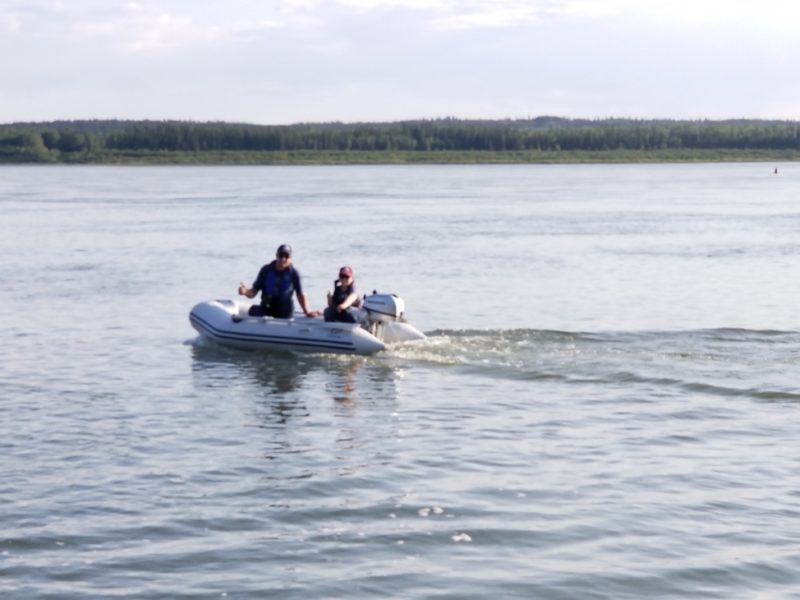
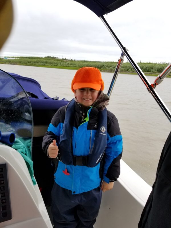
Around lunch time they decided to take a break and Brandon and Otto played around in the dinghy. Otto (7.5 years old) had a blast learning how to drive the dinghy around with his Dad. While they were playing around, Larry was tinkering on the boat. Eager to take a shower, he figured out why the Coleman hot water shower wasn’t lighting up – “the unit has a flow meter and when it starts up it needs to have a lot of water flow to activate. It worked great, hot showers for everyone!”
They ended up pulling in at Trail Creek about 36 miles from Fort Simpson at 9:30pm. The water was smooth as glass most of the day, about 77 degrees in the afternoon. Pretty amazing how long the sunsets last this far north, it began to set at 9pm and lasted until 10:30pm. Next stop is Fort Simpson for our last fill up on the Mackenzie River.
July 15, 2019
They slept in until 9am if you can believe it! No bugs thanks to Cathy’s huge homemade bug net. Getting a bit of a late start, they made their way to Fort Simpson for their last fuel stop – already 71 degrees at 10am. They topped off their tanks, and filled up 50 gallons of their expedition fuel reserves for the next leg of the trip – Fort Simpson to Fort Providence. This is the longest stretch of continuous high currents, over half the 170 mile run is 5-8kts.
As they got further south the color of the river shifted from the color of a dark mud puddle to a light tan lake color, and they could see rocks near the shore about 2 feet down. What a drastic change from their trip south through this section of the river. Just 11 days ago… 20kt winds, 54 degrees, 2-4′ chop… versus mirror pond, glassy smooth waters, 83 degrees and sunshine today! Cruising south was a lot easier and safer now having the Garmin autopilot following their route they took downriver.
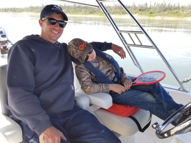
Pretty amazing to be cruising the same waters and landscape, miles of never touched wilderness, that Mackenzie saw in the 1800’s. In the 2,000 miles logged so far, they counted only 8 pieces of wood floating in the river… most around 12″ and one small tree (not counting the numerous trees stuck on sand bars). Interestingly, they only saw 4 barges and tugs in those 2,000 miles. The wildlife has been a bit more sparse than expected as well, plenty of bull flies though. – those guys are big and take a bight out of you! Brandon and Otto had lots of fun zapping them while cruising the river.
They pulled in Northeast of Anchor Point about 8pm, 83 degrees and sunny. They didn’t end up using as much fuel as they thought they might today, the 10kt current Larry and Peter had going down the river was only 4.5kts today – better to have extra fuel than run out though! They set up the bug net again, fried up some ham and settled in for the night. Only 60 miles to go…!
July 16, 2019
“On the river at 0730, our earliest yet!! The bugs aren’t that bad… only 200-300 dead ones on the deck – so really not that bad! Ha!! Cruising calm, glassy waters this morning, 64 degrees and clear skies…
We’ve DONE it!! …2,200 miles of boating in two weeks! It’s been an amazing trip, I think it’s going to be good to get a shower tonight… the boat ran great, the engines were great, I brought 6 extra props and we used none of them! Still on the original props which is great. An AMAZING trip! But man, 2,200 miles of boating in two weeks is A LOT OF BOATING! Whoooo!!”
